Marco Island Waterfront Bridge Clearance: What Buyers Need
August 27, 2026
August 27, 2026
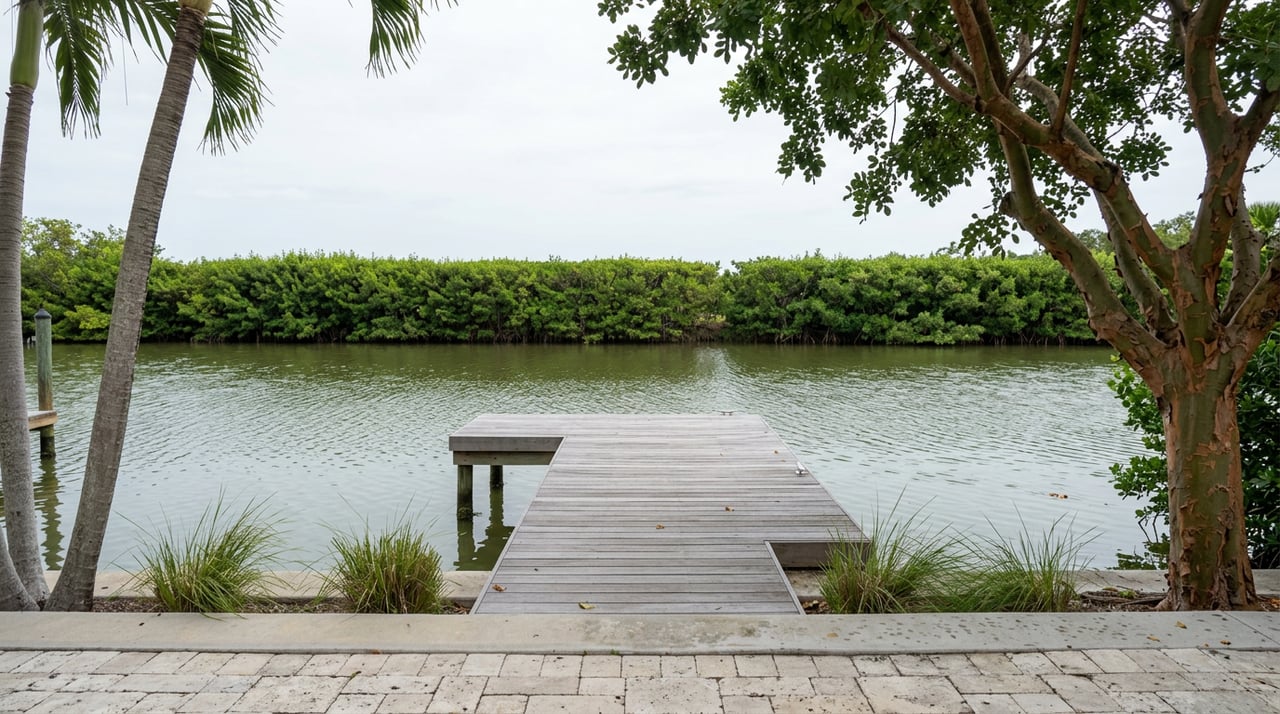
A buyer touring a canal home off Bald Eagle Drive hears the phrase "direct Gulf access" from a listing sheet, walks the dock, admires the seawall, and pictures the boat she already owns tied up by closing week. Then someone mentions the bridge two turns from the house, the one with a posted clearance that sounds generous until you check it against her boat's radar arch and the tide table for a Tuesday afternoon in July. That conversation happens on Marco Island more often than most closings acknowledge, and it is the reason "waterfront" on this island is a much less useful word than it sounds.
Marco Island has 14 named bridges crossing its interior bays and canals. Every one of them sets a hard ceiling on what kind of boat can pass beneath it, and that ceiling has nothing to do with your dock's water depth, your seawall's condition, or the price per square foot you just negotiated. It is a separate number, published by the city, that most listings never mention.
"Waterfront" answers exactly one question: is there water at the property line. It says nothing about whether that water connects to the Gulf without interruption, and it collapses two entirely separate physical constraints into a single marketing term.
The first constraint is depth, how much water sits under your hull at the dock and along your route. The second is air draft, how much space sits between the water and the underside of every fixed bridge between that dock and open water. A canal can be plenty deep for a 40-foot boat and still be useless to its owner if a 10-foot bridge sits between the dock and the pass. Depth is a seawall and dredging conversation. Air draft is a bridge conversation, and on Marco Island, it is the one that actually filters who can keep what kind of boat where.
The city keeps a running list of all 14 crossings and the specific body of water each one spans. A sample of that list shows how localized the constraint is:
| Bridge | Waterway It Crosses |
|---|---|
| Caxambas Court | Roberts Bay |
| Goldenrod Ave | Goldenrod Waterway |
| West Winterberry | Shenandoah Waterway |
| East Winterberry | Smokehouse Bay |
| Barfield Drive | Marco River Inlet |
| North Collier Blvd | Clam Bay |
Each entry on that list is a specific answer for a specific canal, not a general statement about the island.
The bridge that carries State Road 951 onto the island, the tall highway span most people cross without a second thought, clears vessels with room to spare. The bridges deeper in the canal system are a different story. Interior crossings like the one at Caxambas Court and the pair at Winterberry Drive tend to sit close to 10 to 10.6 feet above mean high water. That number sounds abstract until you put a sailboat's fixed mast or a sportfisher's tuna tower next to it. Both are effectively locked out of any canal behind one of those spans, regardless of how deep the water is at the dock itself, regardless of how the listing describes the access.
That 10-foot figure is also not fixed in the way a floor plan is fixed. It is measured against mean high water, which means an incoming tide eats into it and an outgoing tide gives some back. A boat that clears a bridge at 10 a.m. can find itself pinned at the dock by 4 p.m. if the tide has come in enough to close the gap. Owners who keep boats behind these interior bridges learn to check a tide chart before they leave the house, not after.
A Coastal Breeze News report details the bridge ratings and repair estimates that put these crossings at the center of a live funding question. Of the island's 14 bridges, two currently carry structural ratings that put them at the bottom of a much larger list. The Caxambas Bridge, the one spanning Roberts Bay near Caxambas Court, is rated the lowest-sufficiency-score bridge among all 370 bridges in Collier County, with the Florida Department of Transportation rating its deck and superstructure as "serious." The Goldenrod Bridge, crossing the Goldenrod Waterway, carries a "scour critical" rating and sits among the county's lowest-rated spans as well.
These are not abstract engineering footnotes. They are the two bridges that gate specific canal neighborhoods, meaning any property whose route to open water passes under either one is sitting behind infrastructure the state has already flagged as compromised.
The city's own project breakdown puts real numbers on fixing them. Replacing the Caxambas Bridge is estimated at $12 million, offset by two FDOT grants of $3.75 million each, leaving the city responsible for $4.5 million, with the work scheduled for 2027. Replacing the Goldenrod Bridge runs an estimated $10 million, offset by one $3.75 million FDOT grant, leaving a $6.25 million city obligation. Those two projects, plus repairs to three additional bridges and a backlog of 36 unpaved lane miles, are what the city's $23 million transportation bond was built to cover.
On August 18, 2026, Marco Island voters decided that bond. The result was as close as a municipal vote gets.
A one-vote margin out of 4,513 ballots cast on the question.
That margin, 2,257 in favor to 2,256 against, triggered a mandatory machine recount under Florida's half-percent threshold, conducted by the Collier County Canvassing Board on August 21. Whichever way the final certification lands, the margin itself says something worth sitting with: roughly half of the people who live on this island organized their ballot around the exact bridges that gate specific canal neighborhoods. City estimates put the bond's actual cost to a typical homeowner at somewhere between $55 and $60 a year on a home valued at $580,000 for tax purposes, a modest number set against a $12 million and $10 million repair bill that someone has to fund regardless.
City staff have also been candid that $23 million does not close the gap. Transportation capital needs across the island run closer to $57 million before debt service, which means this bond, even fully funded and fully spent, repairs the worst of the list without resolving all of it. For a buyer evaluating a home on Caxambas Court or along the Goldenrod Waterway specifically, that is the detail that matters most: the bridge gating your canal is either on a funded ten-year replacement schedule or it is not, and that answer remained subject to final certification after the recount.
A listing that says "direct Gulf access" or "no fixed bridges" is describing a route, not a guarantee. Before that phrase shapes an offer, a few questions are worth answering directly:
The island's average home price sits at $851,910 as of August 2026, down 1.8 percent from a year earlier, according to Zillow data cited in recent local reporting. That figure treats a direct-access dock on Swallow Avenue the same as a canal home sitting behind a 10-foot bridge on the Goldenrod Waterway, because a median doesn't know the difference. The bridge does. The city's structural ratings do. And for the next several years, the bond referendum's fate will keep deciding which of those bridges gets fixed on schedule and which one keeps aging on a waiting list.
If you are comparing Marco Island waterfront homes right now, the smartest question isn't "is this waterfront." It's "which of the 14 bridges is between me and the Gulf, and what is that bridge's actual condition." That question won't show up on a spec sheet. It shows up in the city's own bridge survey, in FDOT's rating tables, and in the outcome of a vote that was still awaiting final certification after the recount.
If you want a second set of eyes on a specific canal, a specific bridge, or a specific boat, Maria Oddy works this market closely enough to walk through the route with you before you write an offer. Schedule a Consultation and bring the boat's dimensions.
Stay up to date on the latest real estate trends.
With my results-driven approach, disciplined negotiation strategies, excellent work ethic, and natural communication skills, I know how to fight for the terms you deserve. This is precisely why my clients have trusted me with their properties in Naples and Marco. The process works, and I make it a seamless and simple experience for you.